
El Niño and the farm season ahead
SA Weather Reports analysis - 11 November 2026
El Niño is peaking in the Pacific at or near record strength, just as South Africa's summer crops go in. Our assessment: drought risk is the story of this farming season - here are the areas we are watching most closely, and the numbers behind the concern.
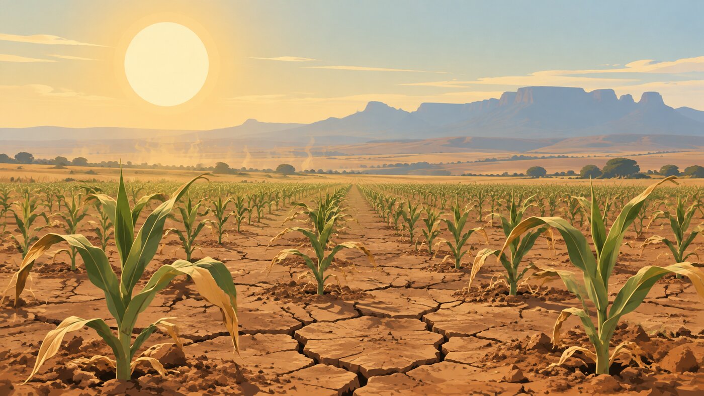
Illustrative image.
Where El Niño stands
The Pacific Ocean is running at or near record heat, and the event is still strengthening as it heads into a November-December peak. Three national agencies track it independently, and all three point the same way:
- Japan's Meteorological Agency measured the October NINO.3 sea-surface anomaly at +4.4°C - the strongest monthly reading since its records began in 1949, and it expects the event to hold into the southern autumn of 2027.
- Australia's Bureau of Meteorology put the weekly relative Niño 3.4 index at +2.75°C in the week ending 8 November. All models it assesses peak in November or December and stay above El Niño thresholds into autumn 2027, at levels not seen since reliable records began in 1950.
- The US Climate Prediction Center rates a strong-to-very-strong El Niño as likely through January to March 2027 (a greater than 83% chance), with an 83% chance that October to December posts a three-month strength reading beyond every El Niño since 1950.
Timing is what makes this dangerous for South Africa. The ocean peaks in November and December - the very months summer crops are planted, germinate and establish. A strong El Niño at that point in the calendar is exactly the setup behind our worst summer droughts.
The season ahead for South Africa
The SA Weather Service's latest Seasonal Climate Watch, issued on 31 October and covering November 2026 to March 2027, supports our read of the summer:
- Below-normal rainfall is favoured across large parts of the summer-rainfall region through November-January, December-February and January-March. The dry signal is most widespread over the interior and the north-eastern half of the country, and it strengthens into mid and late summer.
- Day and night temperatures are expected to run above normal across most of South Africa through the season.
- The combination - less rain and more heat - raises the risk of heat and moisture stress on crops and livestock, and lifts the veld fire danger.
A seasonal outlook is a probability over a three-month average. It does not fix the timing of individual dry spells or storms - a wet week can still sit inside a dry season, and a dry season can still flood in places. Use it to plan risk, not to call single days.
The areas we are watching most closely
Five areas stand out for us this season, based on where the forecast dry-and-hot signal overlaps South Africa's most rain-dependent farming in its most sensitive months. These are the areas to watch - not a ranking, and not a claim about damage already done:
- The maize belt - Free State, North West and the Mpumalanga Highveld. The dry signal sits over the maize belt through early, mid and late summer, and most of the crop is rainfed with planting underway right now. That combination puts the maize belt at the front of our watch list. In 2015/16, maize plantings fell by about 27% and the commercial crop came in at 7.16 million tonnes against a norm of roughly 11 million.
- Limpopo and the Lowveld. The SAWS outlook names the north-eastern half of the country as the most consistently dry region this summer. Citrus, subtropical fruit and vegetables here depend on irrigation and summer rain; hotter days push water demand up exactly when rivers and dams get less recharge.
- The KwaZulu-Natal cane belt. Cane on the KZN north and south coasts is mostly rainfed, which leaves it exposed to a dry summer. In the 2015/16 drought, sugar was among the hardest-hit sectors nationally alongside maize, and KZN growers have seen since how a drier year pulls yields down.
- The Karoo and the western interior. Livestock country. The pressure points here are grazing, water points and heat stress on animals, with above-normal temperatures expected through the season. Veld fire risk climbs as the heat and dryness build.
- The Eastern Cape. A split picture: the summer-rainfall east sits inside the dry signal, while Sundays River Valley citrus depends on stored irrigation water through summer. Dry catchments and heat raise the stakes on dam levels.
The Swartland and the Western Cape's wheat country runs on winter rain, and this year's crop is already at harvest - largely made before the El Niño summer signal arrives. The concern there this season is not the crop but a hotter, drier summer raising fire risk.
What 2015/16 teaches us
South Africa has lived through a strong El Niño summer before, and 2015/16 is the clearest recent measure of what a season like this can do. Policy researchers described that drought as the worst in living memory, and the numbers from that season still stand:
Current ocean readings are comparable to or stronger than that event's. That does not guarantee a repeat - no two seasons unfold the same way, and a forecast probability is not an impact on the ground - but it is why we treat this summer's risk as serious now, not theoretical.
What farmers can do now
- Watch the short-range forecasts, not just the seasonal one. SAWS updates its weekly and monthly forecasts through the season, and the Department of Agriculture issues its own advisories - the seasonal picture can and will be revised.
- Prioritise soil and water conservation, and water harvesting and storage where the operation allows - the standing guidance from SAWS for a season like this.
- Plan around heat for livestock: shade, water points and grazing management before the hottest stretches, not during them.
- Get veld fire readiness in place as the heat builds, especially in the grassland interior.
Planting decisions stay farm-specific. Timing, soil moisture, seed and cash flow differ field to field, and no outlook replaces a farmer's own read of their ground. Our job is to keep the risk picture current so those decisions are made with the best information available.
What we watch next
- The US Climate Prediction Center's next ENSO assessment lands on 12 November - the first natural checkpoint in the season.
- SAWS refreshes its seasonal outlook monthly; the next Climate Watch will show whether the dry signal is holding, strengthening or easing.
Follow SA Weather Reports for daily provincial outlooks, precipitation maps and heat outlooks through the season.
SA Weather Reports publishes its own analysis and advice based on the sources listed below. This is not an official weather warning service - official severe weather warnings are issued only by the South African Weather Service at weathersa.co.za.
Sources:
· SA Weather Service, Seasonal Climate Watch, November 2026 to March 2027 (issued 31 October 2026)
· NOAA Climate Prediction Center, ENSO Diagnostic Discussion, 8 October 2026
· Australian Bureau of Meteorology, ENSO monitoring, week ending 8 November 2026
· Japan Meteorological Agency, El Niño Monitoring and Outlook, October 2026
· National Department of Agriculture, Impact of Drought on Crop Production and the Food Value Chain, July 2016
· FAO GIEWS Country Brief: South Africa, October 2016
· AGRA, The 2015-16 El Niño-induced drought crisis in Southern Africa
· TIPS, Briefing note: Impacts of the drought, 2016
· Climate risk coping strategies of maize low-income farmers: A South African Perspective, MPRA 2021 (citing AgriSA's R12 billion loss estimate)
· SA Canegrowers, Drier season yields lower than average crop, November 2024
Source links:
· SAWS Seasonal Climate Watch
· CPC ENSO Discussion
· Bureau of Meteorology ENSO
· JMA El Niño Outlook
· NDA drought impact
· FAO GIEWS brief
· AGRA drought analysis
· TIPS drought briefing
· Maize risk paper (AgriSA figure)
· SA Canegrowers
Prepared 11 November 2026. Every figure in this article was checked against the listed sources on the day of writing.